Imagine soaring over the Grand Canyon, sweeping through the bustling streets of New York, or gliding over the serene landscapes of the Swiss Alps—all from the comfort of your home. With Google Earth, the fantasy of flight becomes a virtual reality, offering an immersive experience that allows you to explore the world from incredible vantage points. But can you really ‘fly’ in Google Earth? The answer is a resounding yes, and here’s how you can do it.

Google Earth, a remarkable tool developed by Google, harnesses the power of satellite imagery, aerial photography, and GIS data to create a rich, interactive 3D map of the globe. Since its inception, it has evolved significantly, now offering features that allow users to not only view the Earth from above but to simulate flight across its vast terrains.
### How to Fly in Google Earth
**Step 1: Download and Install Google Earth Pro**
To begin your aerial adventure, you first need to download Google Earth Pro on your desktop. This version, which is free, offers more advanced features compared to the basic web version, including robust tools for flying.
**Step 2: Use the Flight Simulator**
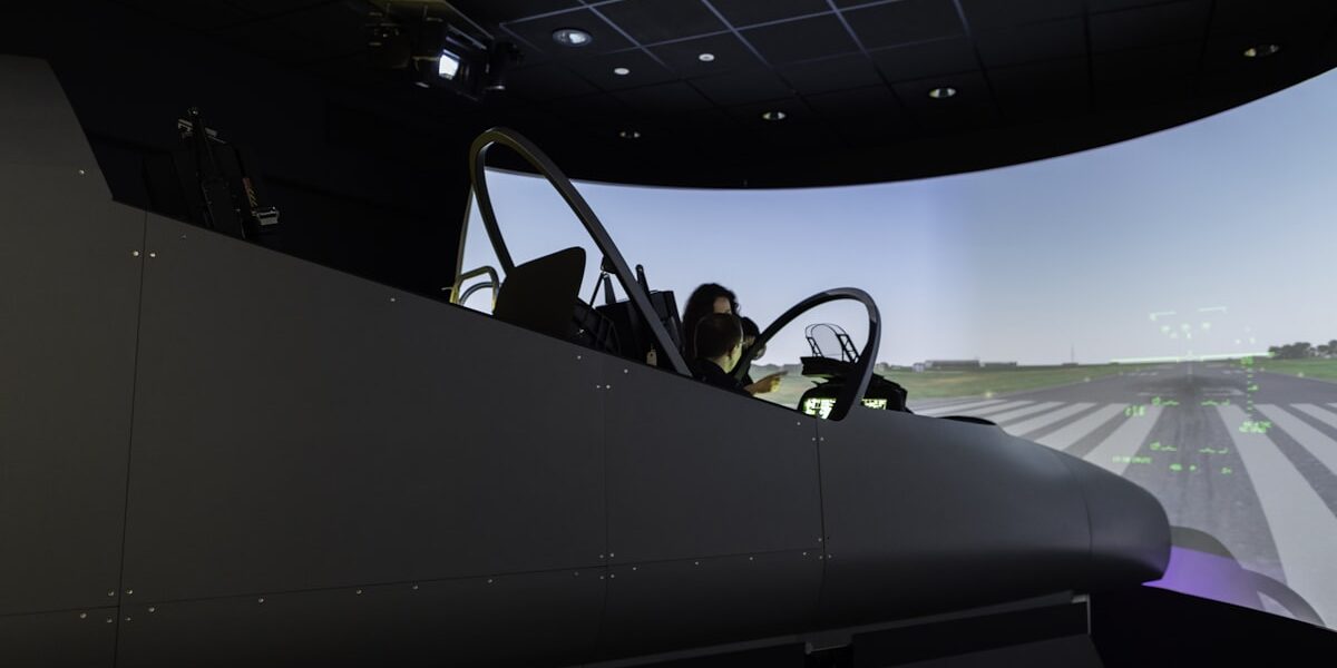
Once installed, you can access the flight simulator feature by clicking on ‘Tools’ in the top menu and then selecting ‘Enter Flight Simulator.’ You can choose to fly either a propeller plane or a jet. The simulator includes controls similar to a real aircraft, providing a realistic flying experience. You can take off, land, and maneuver your aircraft, exploring different parts of the world from an aerial perspective.
**Step 3: Master the Controls**
Flying in Google Earth requires some basic knowledge of aviation controls. You can control your speed, adjust your altitude, and navigate using the on-screen joystick or your keyboard. For an enhanced experience, you can also use a joystick or flight yoke hardware connected to your computer.
**Step 4: Explore the World**
With these tools at your disposal, you can fly over any location on Earth. Glide over your own city to see familiar landmarks from above, or venture to far-off destinations that you’ve only dreamed of visiting. The flight simulator also allows you to adjust the time of day and weather conditions, adding to the realism of your flight.
### Educational and Fun Uses of Flying in Google Earth
**Educational Applications**
Teachers and educators can use Google Earth’s flight simulator as a dynamic teaching tool. It provides a unique way to teach geography, allowing students to explore geographical features, understand topography, and learn about different cultures and habitats.
**Entertainment and Exploration**
For those who love adventure and exploration, Google Earth offers an endless playground. You can create your own routes, fly over historical sites, or simply enjoy the beauty of the planet from a bird’s-eye view.
**Virtual Tourism**
During times when traveling is not possible, Google Earth’s flying feature offers a wonderful alternative. Virtual tourism through the flight simulator can give you a taste of different countries and cultures without leaving your home.
### Conclusion
In conclusion, yes, you can fly in Google Earth, and the process is both engaging and accessible. Whether you’re a seasoned pilot, a geography enthusiast, or just curious about the world, Google Earth’s flight simulator offers a compelling way to explore the globe. It bridges the gap between virtual and reality, providing a platform where you can learn, explore, and be entertained. So why not take the pilot’s seat and start your virtual flight adventure today?


