What AGL Really Means for Pilots
Aviation altitude terminology has gotten complicated with all the abbreviations, reference points, and instrument readings flying around. As someone who’s spent years learning to interpret altimeters in both real cockpits and simulators, I learned everything there is to know about altitude measurements and why AGL matters. Today, I’ll break down what Above Ground Level actually means and when you need to pay attention to it.

AGL: Above Ground Level Explained
AGL stands for Above Ground Level. It measures how high you are above the terrain directly beneath your aircraft—not above sea level, not above the airport elevation, but above the actual ground. This distinction matters more than most pilots realize until they’re flying over mountains or into unfamiliar territory.
- What It Measures: The vertical distance between your aircraft and the ground surface below you at any given moment.
- Why It Matters: AGL tells you how much clearance you have above obstacles. When you’re 1,000 feet AGL, you’re 1,000 feet above whatever is directly beneath you—whether that’s a flat field or a mountain ridge.
That’s what makes AGL endearing to us pilots who care about obstacle clearance—it gives you the one number that directly answers “how close am I to hitting something?”
Probably Should Have Led With This Section, Honestly
The critical difference between AGL and MSL (Mean Sea Level) confuses a lot of new pilots. Your altimeter typically shows MSL—your height above sea level. But if you’re flying over mountains that rise to 8,000 feet MSL and your altimeter reads 9,000 feet, you’re only 1,000 feet AGL. That’s a very different safety picture than being 9,000 feet above the ground.
Understanding this relationship is essential for:
- Takeoff and Landing: Tower reports often reference field elevation (MSL), but your actual clearance over obstacles on approach is AGL.
- Minimum Altitudes: Many regulations specify minimum altitudes in AGL because what matters is your clearance above terrain and obstacles.
- Night and Low-Visibility Flying: When you can’t see the ground, understanding the relationship between your MSL reading and the terrain elevation becomes critical.
How to Calculate AGL
Basic formula: AGL = Aircraft Altitude (MSL) – Ground Elevation (MSL)
If your altimeter reads 5,500 feet MSL and the terrain below is at 3,500 feet MSL, you’re 2,000 feet AGL.
In practice, pilots use several tools to track AGL:
- Radar Altimeters: These actively measure the distance to the ground using radio waves. Common in commercial and military aircraft. They give you real-time AGL readings.
- Terrain Awareness Systems: Modern avionics compare your GPS position and altitude against terrain databases to calculate AGL continuously.
- Sectional Charts: Show terrain elevations that help you mentally calculate AGL based on your altimeter reading.
When AGL Really Matters
Some situations demand constant awareness of your AGL:
Pattern Work: When the tower tells you to fly the pattern at 1,000 feet, they mean 1,000 feet AGL above the airport. If the field elevation is 2,400 feet MSL, your altimeter should read 3,400 feet.
Low-Level Flying: Crop dusters, pipeline patrol pilots, and military aviators doing terrain following live and die by AGL awareness.
Mountain Flying: Terrain can change dramatically over short distances. Your MSL altitude stays the same, but your AGL can go from 5,000 feet to 500 feet as you cross a ridge.
Common Mistakes to Avoid
The biggest error is forgetting that your altimeter shows MSL, not AGL. Pilots flying into unfamiliar mountain terrain have come to grief by assuming their altimeter reading meant they had plenty of clearance when they didn’t.
Another mistake: not updating your altimeter setting. If your barometric reference is wrong, your MSL reading is wrong, which means your mental AGL calculations are also wrong.
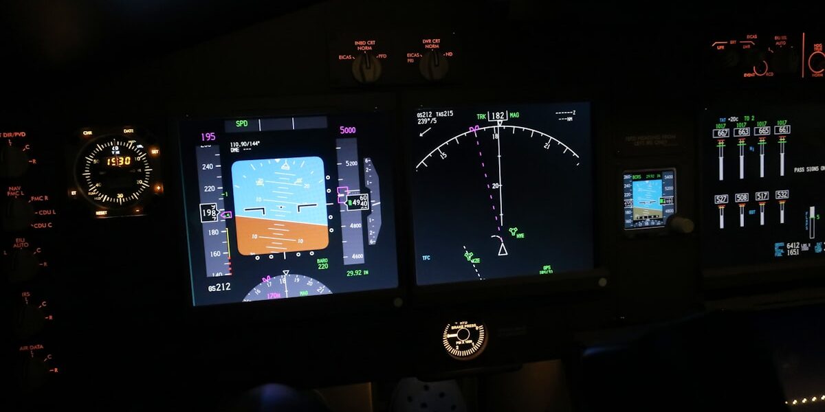
AGL in Flight Simulators
Modern flight sims like MSFS model terrain accurately enough that AGL awareness matters for realistic flying. Many glass cockpits in these sims show both MSL and AGL, or include terrain awareness displays that color-code your clearance above the ground.
Practice calculating AGL mentally based on your altimeter and the terrain you’re flying over. It’s a skill that transfers directly to real-world flying and makes you a safer, more situationally aware pilot in any cockpit—virtual or otherwise.


Stay in the loop
Get the latest ultimate flight simulators updates delivered to your inbox.